Download Groundhawk brochure
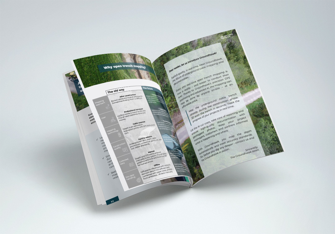
Discover how using Groundhawk changes underground cable mapping and documentation - download the brochure to find out how you can get ahead of competition.

Trusted by forerunners of critical infrastructure
”Strong recommendation from us.”
”Easy to use.”
”Probably the most reliable mapping."
”Mappings are always imported well into NIS.”
”All network elements get more reliably documented."
”Mappings and photos are available immediately.”
”Finally mapping is not done based on paper markings or worse, based on memory."
”With Groundhawk potential issues can be immediately addressed."
”The contractor commented that they want to use it in the next work site as well."
”All mappings worked first time and there was no need for retakes."
1,000,000+
Over hundreds of thousands of meters mapped.
10,000+
Over ten thousand mappings conducted.
Try Groundhawk in action
Groundhawk revolutionizes documenting the exact locations of electrical and telecommunications underground cables. The new method is more accurate and meets the requirements of 10 cm accuracy in x,y,z.
Save on measurement costs
Speed up the completion of contracts
Fulfill the required measurement accuracy
Ensure the quality with image data